Project: QGIS
Version: 3.8
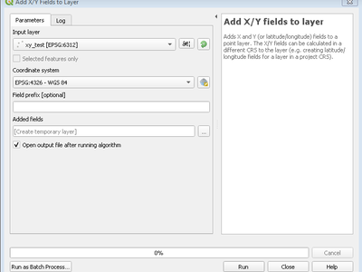
This new algorithm is a handy shortcut for adding X and Y (or latitude/longitude) fields to a point layer. You can even calculate the X/Y values using a different coordinate reference system from the layer (e.g. creating latitude/longitude fields for a layer in a projected CRS).