Project: QGIS
Version: 3.34
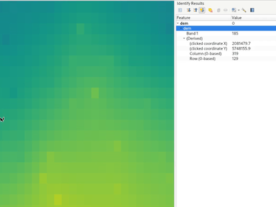
QGIS now displays the geometry of the identified feature result for raster pixels on the map canvas. This matches the existing behavior of the identify tool against vector, vector tile, and point cloud feature types.
This is useful when a identifying a raster which has sections of similar colored pixels and it's difficult to visually determine the exact extent of a pixel.
This feature was developed by Nyall Dawson