Project: QGIS
Version: 3.16
Adds a rescale raster algorithm to change raster value range, whilst preserving the shape of the raster's histogram. Useful for when rasters from different sources should be compared or processed together and their pixel values should be in the same range. By default, the algorithm preserves the NODATA value of the input raster but there is an option to override it.
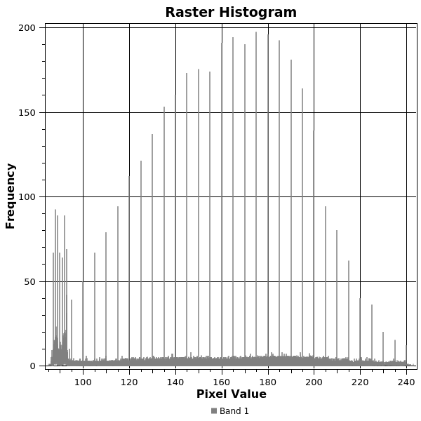
The following image displays a histogram of a DEM (value range is 85-243)
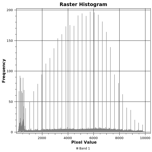
 And the next image displays a histogram of same DEM rescaled to the range 100-1000
Addresses Issue 26099.
This feature was developed by Alexander Bruy