Project: QGIS
Version: 2.4.0
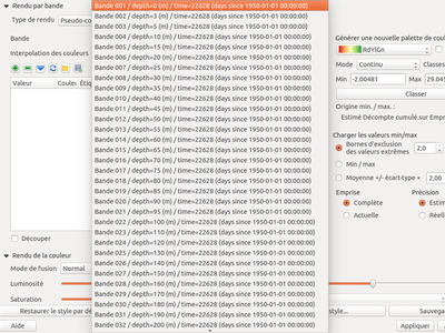
The NetCDF provided extra dimensional information. This information provides metadata on each band. These metadata can be used to explain the name of each band. For example, the bands of a NetCDF file represents the temperature at a given depth. For the user, it is easier to select a band with depth information, rather than only the band number.