Project: QGIS
Version: 3.32
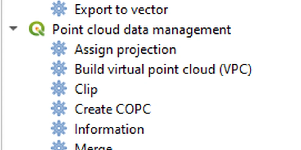
A new native processing provider has been provided for point cloud algorithms, in line with QEP 263.
Under the hood provider utilizes the pdal_wrench command line tool and currently supports the following algorithms:
- Information: outputs a basic metadata of the point cloud (number of points, extent, crs, etc)
- Convert format: convert point cloud to a different format, e.g. las to laz
- Reproject: reproject point cloud to a different CRS
- Fix projection: fix (assign) CRS of a point cloud file
- Clip: clip point cloud by clipping polygon(s)
- Merge: merge multiple point clouds in a single file
- Tile: create tiles from input data
- Thin: create a thinned version of the point cloud
- Boundary: export vector layer containing point cloud boundaries
- Density: export a raster file where each cell contains number of points that are in that cell's area
- Export to raster: export point cloud data to a 2D raster grid
- Export to vector: export point cloud data to a vector layer with 3D points
- Export to raster (TIN): export point cloud data to a 2D raster grid using a triangulation of points
- Filer: extract subset from the point cloud using PDAL expressions
As pdal_wrench requires PDAL >= 2.5.0, the new processing provider will be available only where the PDAL version requirement is satisfied.
This feature was funded by Point cloud processing and 3D data enhancements crowdfunding
This feature was developed by Alexander Bruy