Project: QGIS
Version: 3.22
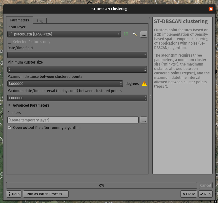
QGIS 3.22 ships with a brand new spatiotemporal ST-DBSCAN clustering algorithm which clusters point features based on a 2D implementation of spatiotemporal density-based clustering of applications with noise (ST-DBSCAN) algorithm.
For more details, please see the following papers:
- Ester, M., H. P. Kriegel, J. Sander, and X. Xu, "A Density-Based Algorithm for Discovering Clusters in Large Spatial Databases with Noise". In: Proceedings of the 2nd International Conference on Knowledge Discovery and Data Mining, Portland, OR, AAAI Press, pp. 226-231. 1996
- Birant, Derya, and Alp Kut. "ST-DBSCAN: An algorithm for clustering spatial–temporal data." Data & Knowledge Engineering 60.1 (2007): 208-221.
- Peca, I., Fuchs, G., Vrotsou, K., Andrienko, N. V., & Andrienko, G. L. (2012). Scalable Cluster Analysis of Spatial Events. In EuroVA@ EuroVis.
This feature was developed by Mathieu Pellerin