Project: QGIS
Version: 3.14
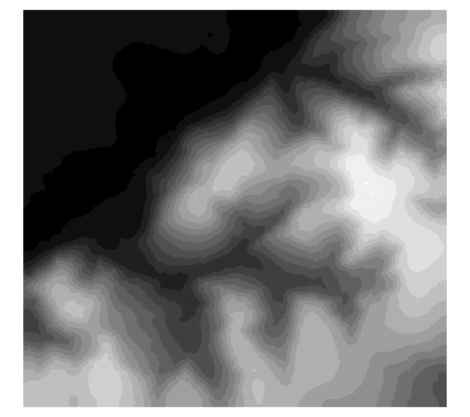
With this new processing algorithm we enable QGIS to round Raster values.
The main functionality of the algorithm is either standard up/nearest/down-rounding of floating point cell values or rounding to powers of a user specified base n. The algorithm can be used with rasters of all types (even byte/integer rasters when rounding to powers of n) and outputs the same raster data type. A standard floating point rounding of an integer raster will copy it and raise a warning.
The example shows an output raster rounded to multiples of 10
This feature was developed by Clemens Raffler