Project: QGIS
Version: 3.4 LTR
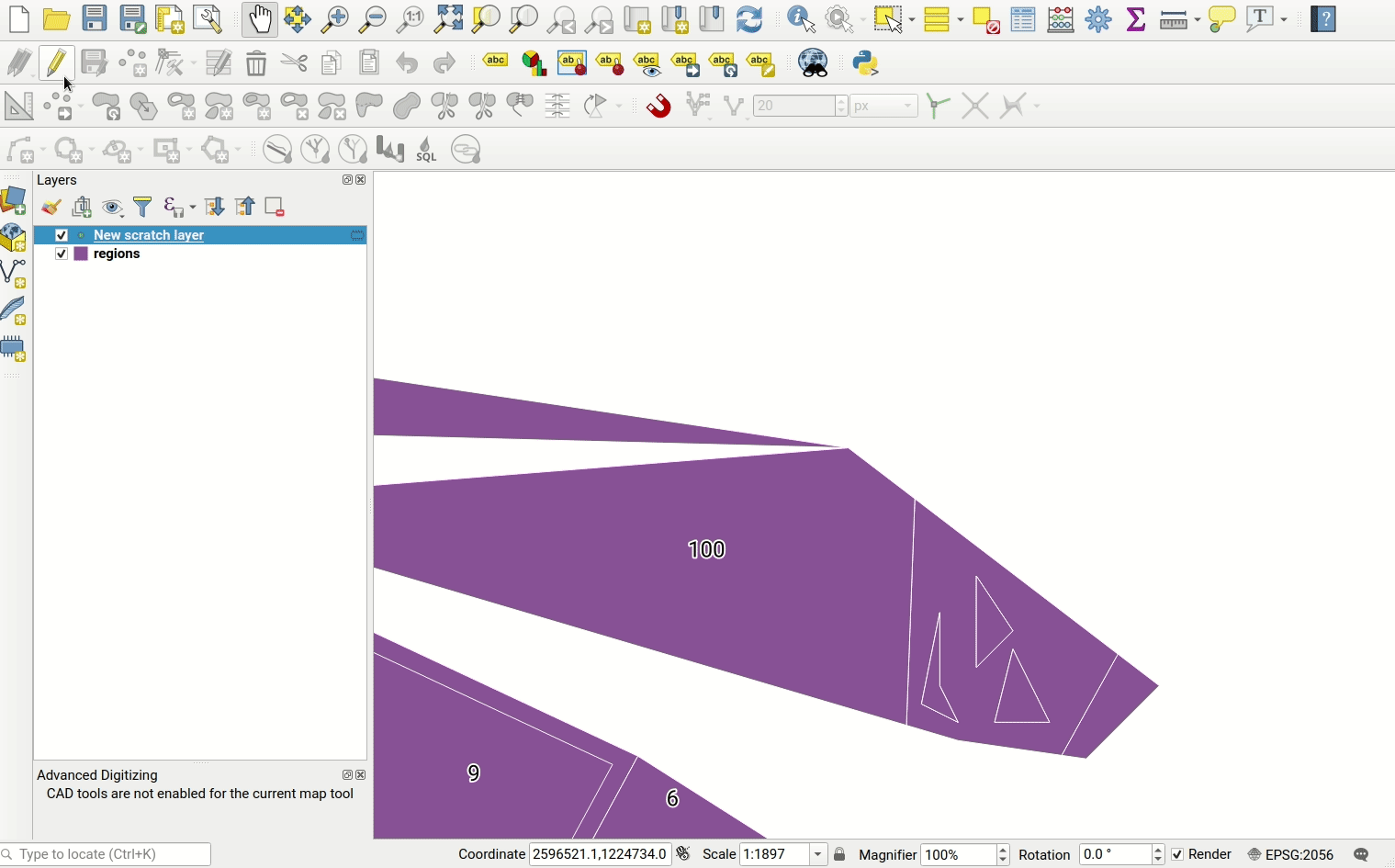
Vector layers have a precision configuration option.
The precision defines how precise the location of nodes should be saved. Each node of new or edited geometries is snapped to a grid of this resolution.
While digitizing, the grid is shown to guide the user.
This feature was funded by Kanton Solothurn
This feature was developed by Matthias Kuhn (OPENGIS.ch)