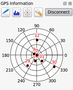
QGIS can now handle GLONASS satellite data ($GN* lines) to get a more precise Position from external GPS/GNSS Receivers.
This feature was developed by Ondřej Fibich
Image Preview
Click the image to open original size image in new tab