Project: QGIS
Version: 2.0.0
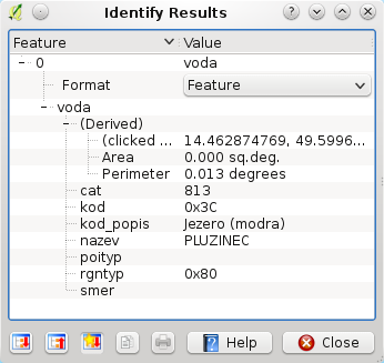
It is now possible to select the format of the identify tool result for WMS layers if multiple known formats are supported by the server. The supported formats are HTML, feature (GML) and plain text. If the feature (GML) format is selected, the result is in the same form as for vector layers, the geometry may be highlighted and the feature including attributes and geometry may be copied to clipboard and pasted to another layer.