Project: QGIS
Version: 2.0.0
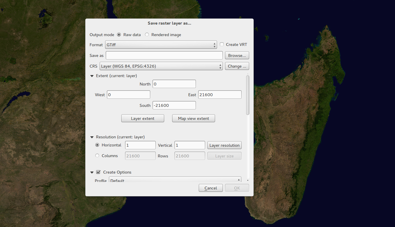
The raster data provider system has been completely overhauled. One of the best new features stemming from this work is the ability to 'Layer -> Save As...' to save any raster layer as a new layer. In the process you can clip, resample, and reproject the layer to a new Coordinate Reference System. You can also save a raster layer as a rendered image so if you for example have single band raster that you have applied a colour palette to, you can save the rendered layer out to a georeferenced RGB layer.