Project: QGIS
Version: 3.44
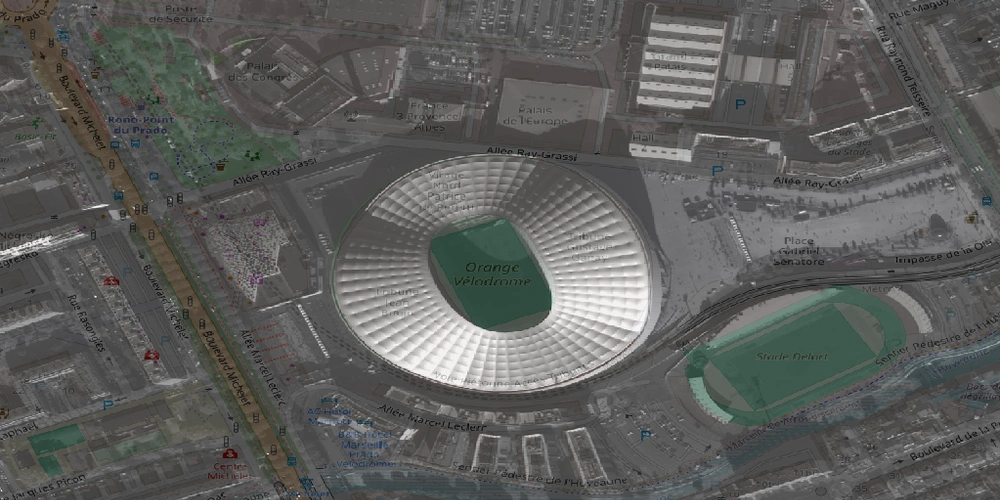
QGIS can now more accurately position satellite images, especially those from DIMAP / Pleiades NEO products.
This improvement means that these types of satellite images will be displayed in their correct geographical location with greater precision, even without additional elevation data.
This feature was developed by Even Rouault