Project: QGIS
Version: 3.44
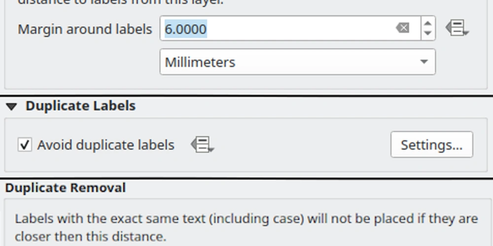
Two new settings have been introduced for vector layer labels, namely:
- Margin around labels: This allows setting a margin around a layer's labels, which prevents all other labels from being placed closer than this margin distance to the layer's labels.
- Prevent duplicate labels: Removes labels within a minimum distance across ALL layers using case sensitive matching.
This can be used to improve the appearance of labels in the rendering of complex geographic situations such as road network data, where elements such as dual carriageways, service roads, and other entities can result in many identical label elements appearing close together.
This feature was developed by Nyall Dawson