Project: QGIS
Version: 3.42
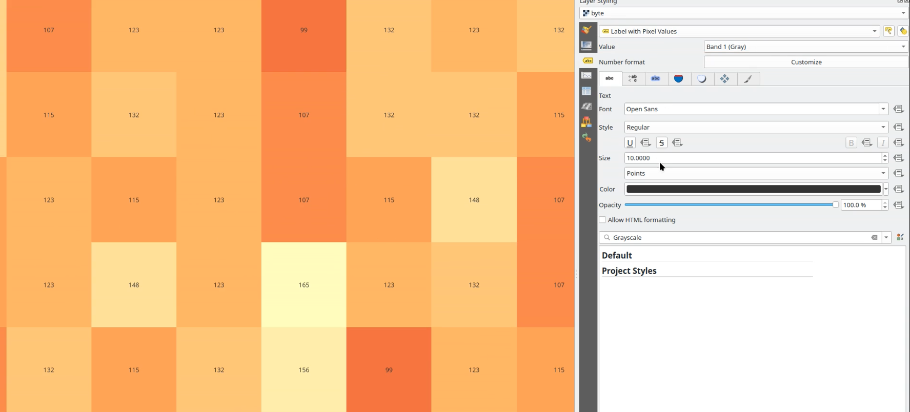
QGIS now allows raster pixels to be labeled with the value taken from a raster band. Labels are registered with the labeling engine, and so will participate in label conflict resolution and overlap avoidance.
Options include:
- Selection of band to take values from
- Using QgsNumericFormat to customize the number format for the labels
- Uses text renderer, so supports buffers, shadows, etc
- Label priority
- Scale dependant visibility
- Optional pixel size dependent visibility, i.e. show only when pixels are > 4mm in size
- Z index control, overlap avoidance mode
- Option for showing values resampled over neighboring pixels