Project: QGIS
Version: 3.30
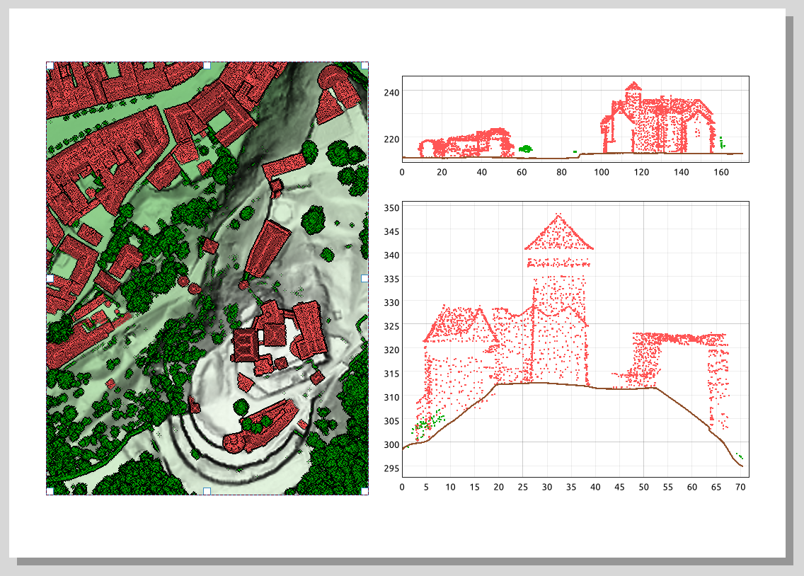
It is now possible to include profile plots in print layouts! There is a new "Add Elevation Profile" button in the toolbar which will initially create an empty plot. A plot can be initialized by clicking "Copy From Profile" button in the properties of the elevation profile item - this will use the active elevation profile from the main window of QGIS.
The elevation profile has wide configuration options - you can specify:
- what layers to include
- tolerance of the profile curve
- chart ranges (minimum and maximum distance/elevation)
- chart area borders and colors
- distance and elevation axes properties - intervals of labels, grid lines appearance, fonts and more
This feature was funded by QGIS Community Crowdfunding Efforts
This feature was developed by Nyall Dawson