Project: QGIS
Version: 3.30
In previous releases, the destination layer for newly created GPS digitized features always followed the current layer selection. This made it very tricky to design projects around GPS digitizing, as whenever a user started interacting with the project the captured GPS features would be placed unpredictably within the available layers.
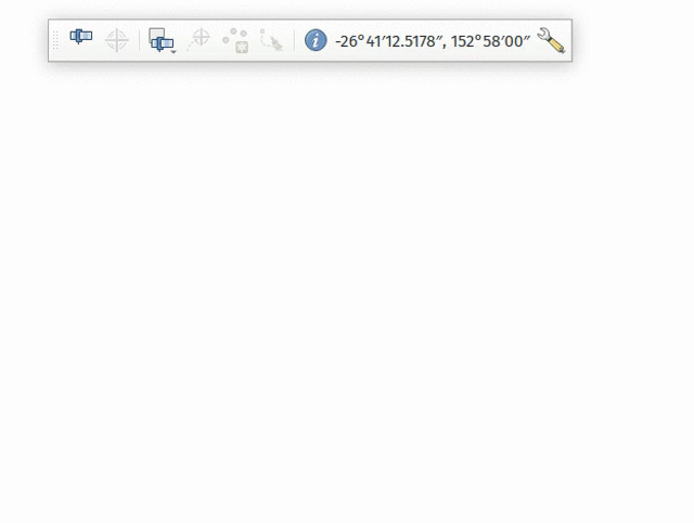
The GPS feature destination layer is now an explicit choice made by the user. A user can set this layer, and then go ahead and interact with the rest of their project layers and be guaranteed that any time they hit the actions to create GPS features these features will be put into the correct layer. The destination layer is stored in the current project, so reopening a prior project will automatically restore the GPS destination layer (also making it easier for staff or scripts to create GPS digitizing projects in advance for other users and be confident that these will work correctly in the field).
Additional enhancements include:
- GPS destination layer is now made automatically editable when a feature is created, and the user is notified accordingly. This follows the approach we use for the interactive labeling tools and avoids user frustration where the features were previously not saved without any guidance as to why.
- The GPS toolbar actions now more intelligently follow the state of the project, GPS, and current GPS track, so that actions are only enabled when they make sense
- UI improvements and better tooltips