Project: QGIS
Version: 3.28
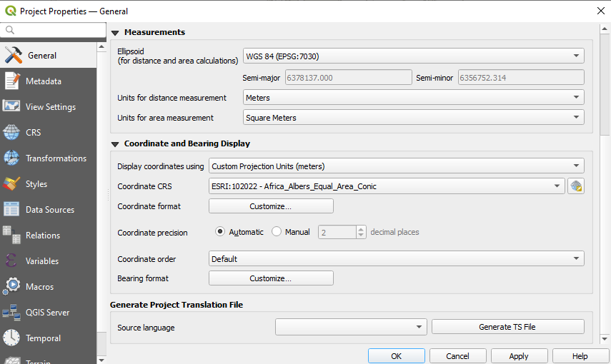
The Coordinate and Bearing Display options in the project settings have been updated in line with the following:
- Map Units (behavior is the same as previous releases)
- Map Geographic (modified behavior)
- Custom Projection Units (new type)
The legacy Geographic (Latitude/ Longitude) option would display values in the map CRS coordinates if the CRS was geographic, otherwise, it would transform coordinates to a hard-coded WGS84 CRS value.
The updated Map Geographic (degrees) option, which supersedes the legacy approach, will display values in the map CRS coordinates if the CRS is geographic, however in instances where it is not, the internal QgsCoordinateReferenceSystem::toGeographicCrs() API will be used to transform the coordinates into the map CRS' associated geographic CRS. This is helpful in various contexts, such as when analyzing non-earth celestial bodies.
The Custom Projection Units type is a new addition that defaults to WGS84 and allows users to set any CRS they desire as display coordinates.
This feature was developed by Mathieu Pellerin