Project: QGIS
Version: 3.24
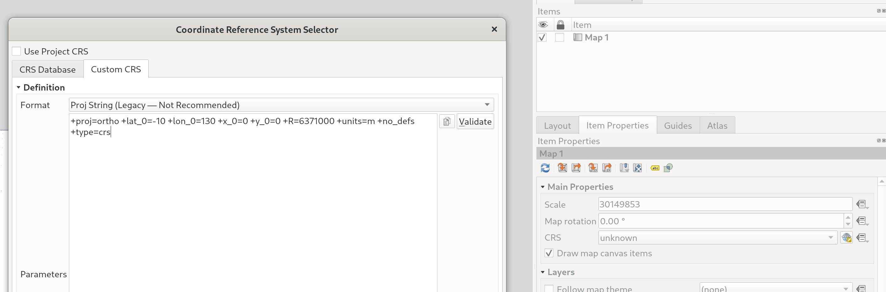
We've added a new option when selecting a Coordinate Reference System (CRS) which allows you to just directly enter a custom CRS definition (from proj or WKT strings), instead of requiring you to specifically add these custom CRS to the projection database first.
It's much friendlier when you just want to define a custom projection for a single-purpose use, e.g. an overview map with a projection designed for a particular latitude and longitude location.
This feature was developed by Nyall Dawson