Project: QGIS
Version: 3.20
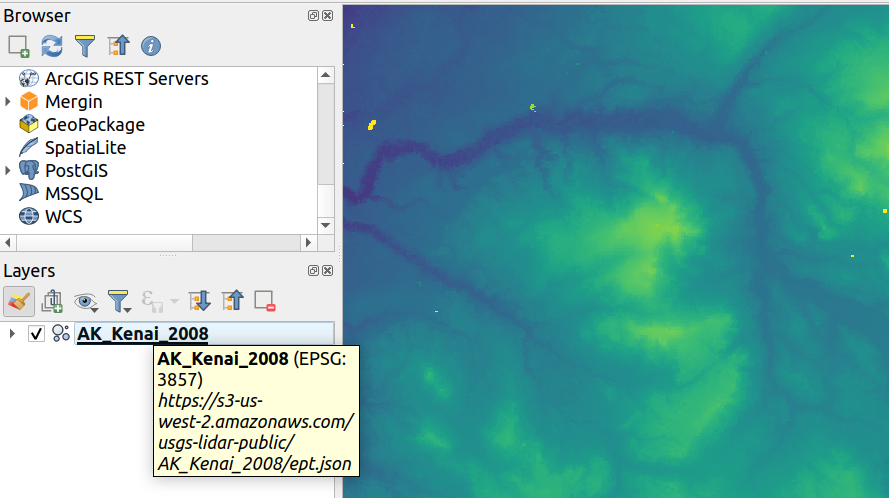
Point cloud datasets that have been processed to EPT format can be loaded from remote HTTP(S) servers, similar to how raster/vector tiles work. This way, it is possible to access large point cloud datasets without first having to download them as LAS/LAZ files. The EPT format is optimized for tiling and streaming, so QGIS only downloads small amounts of data necessary for display of the current view and resolution. This works in both 2D and 3D view.
If you have point cloud datasets in LAS/LAZ format, these can be converted to EPT using Entwine or Untwine (shipped also with QGIS).
How to use: in Data Source Manager > Point Cloud tab > select "Protocol" as the source type and enter URL of the dataset (normally ending with "ept.json").
You can test with USGS LiDAR data - just use the link from "EPT" column from one of the datasets. Some example endpoints include:
By the way, every point cloud dataset that QGIS loads is first processed to EPT (look for "ept_XXX" sub-folder where your original data is located), so it is possible to just copy that "ept_XXX" folder to a HTTP(S) server and you are ready to use this feature.