Project: QGIS
Version: 3.18
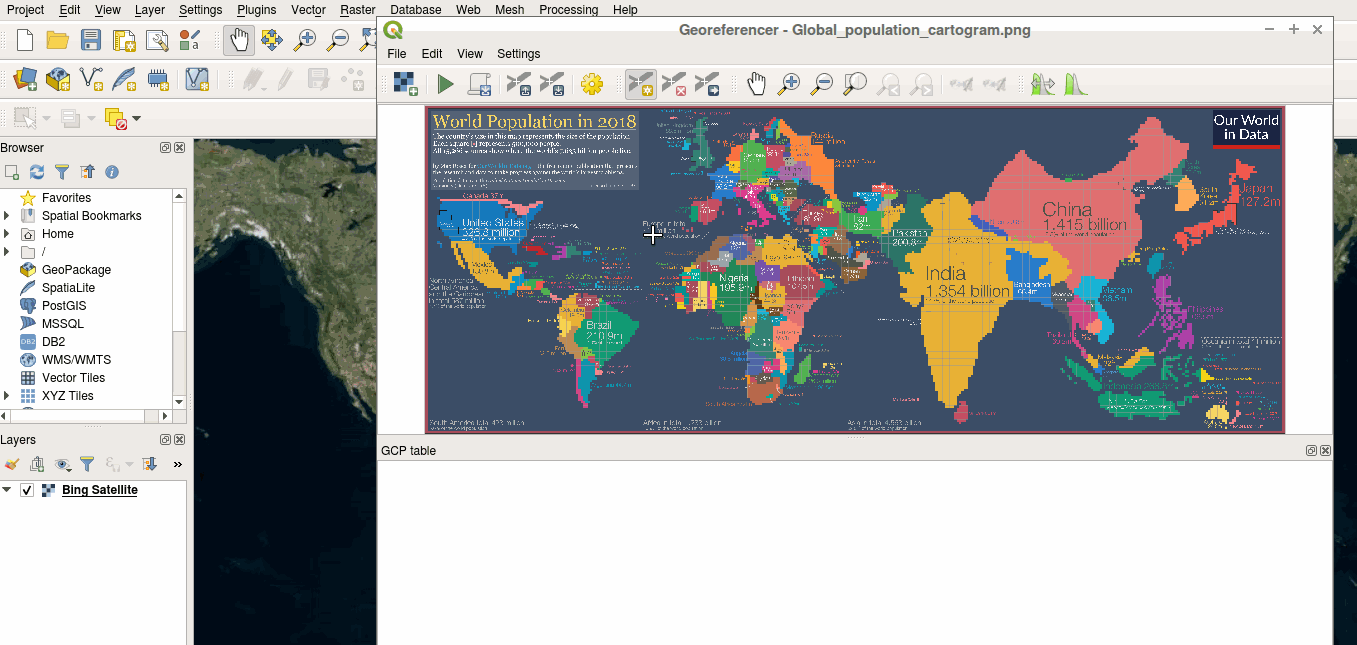
The georeferencer now reprojects data points in a desired output projection, rather than using the map canvas CRS for determining data point positions. This allows users more flexibility and control when capturing control points.
This feature was developed by Alex