Project: QGIS
Version: 3.16
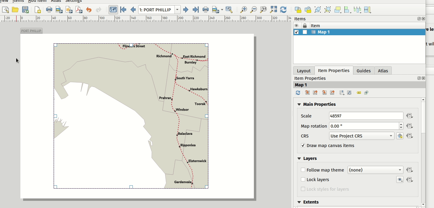
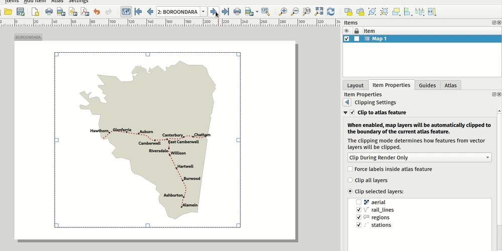
This feature allows users to enable map clipping for layout map items so that the maps are clipped to the boundary of the current atlas area feature.
Options exist for:
- Enabling or disabling the clipping on a per-map basis
- Specifying the clipping type:
- “Clip During Render Only”: applies a painter based clip, so that portions of vector features which sit outside the atlas feature become invisible
- “Clip Feature Before Render”: applies the clip before rendering features, so borders of features which fall partially outside the atlas feature will still be visible on the boundary of the atlas feature
- “Render Intersecting Features Unchanged”: just renders all features which intersect the current atlas feature, but without clipping their geometry
- Controlling whether labels should be forced placed inside the atlas feature, or whether they may be placed outside the feature
- Restricting the clip to a subset of the layers in the project, so that only some are clipped