Project: QGIS
Version: 3.12
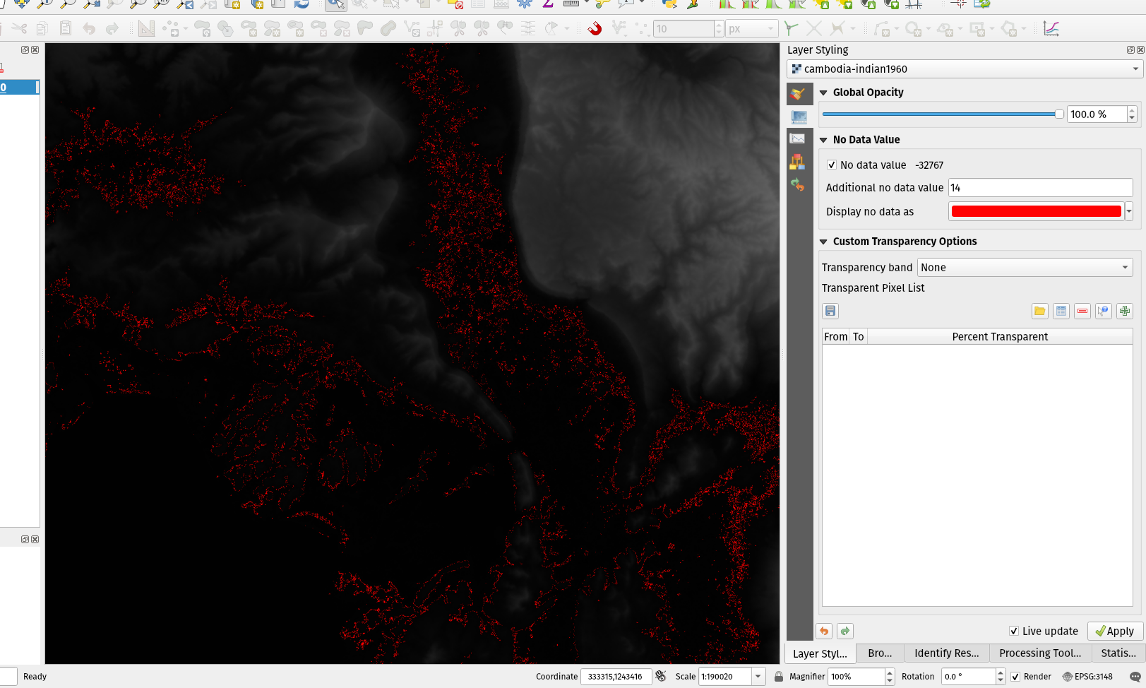
Allows raster nodata pixels to be colored in a specific (non-transparent) color. Designed to match the "Display background value" option from ArcMap.
Allows raster nodata pixels to be colored in a specific (non-transparent) color. Designed to match the "Display background value" option from ArcMap.
Image Preview
Click the image to open original size image in new tab