Project: QGIS
Version: 3.12
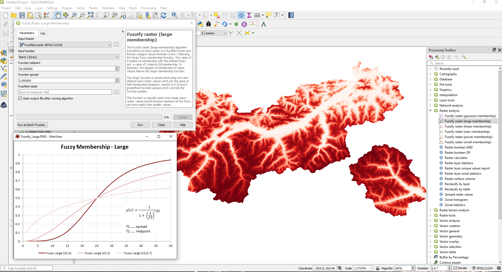
The Fuzzify raster (large membership) algorithm is a native implementation of a fuzzy logic algorithm. It transforms an input raster to a fuzzified raster and thereby assigns values between 0 and 1 following the 'large' fuzzy membership function. The value of 0 implies no membership with the defined fuzzy set, a value of 1 depicts full membership. In between, the degree of membership of raster values follows the 'large' membership function.The 'large' function is constructed using two user-defined input raster values which set the point of half membership (midpoint, results to 0.5) and a predefined function spread which controls the function uptake.
This feature was developed by Clemens Raffler