Project: QGIS

Changelog for version: 2.16.0

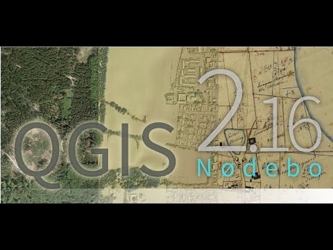
This is the log for the next release of QGIS - version 2.16.0 'Nødebo'. The Department of Geoscience and Natural Resource Management
Forest and Landscape College in Nødebo where hosts to the First International QGIS conference and developer meeting in September 2015.

Introducing Nødebo

This is not a Long Term Release

This release is not designated as a Long Term Release (LTR). Users wishing to have a version of QGIS which does not change and receives bug fixes for at least 1 year are invited to use the current LTR release 2.14 (which now becomes our official LTR with the release of QGIS 2.16).

New Features in QGIS 2.16 'Nødebo'

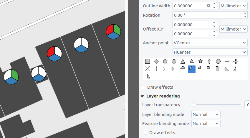
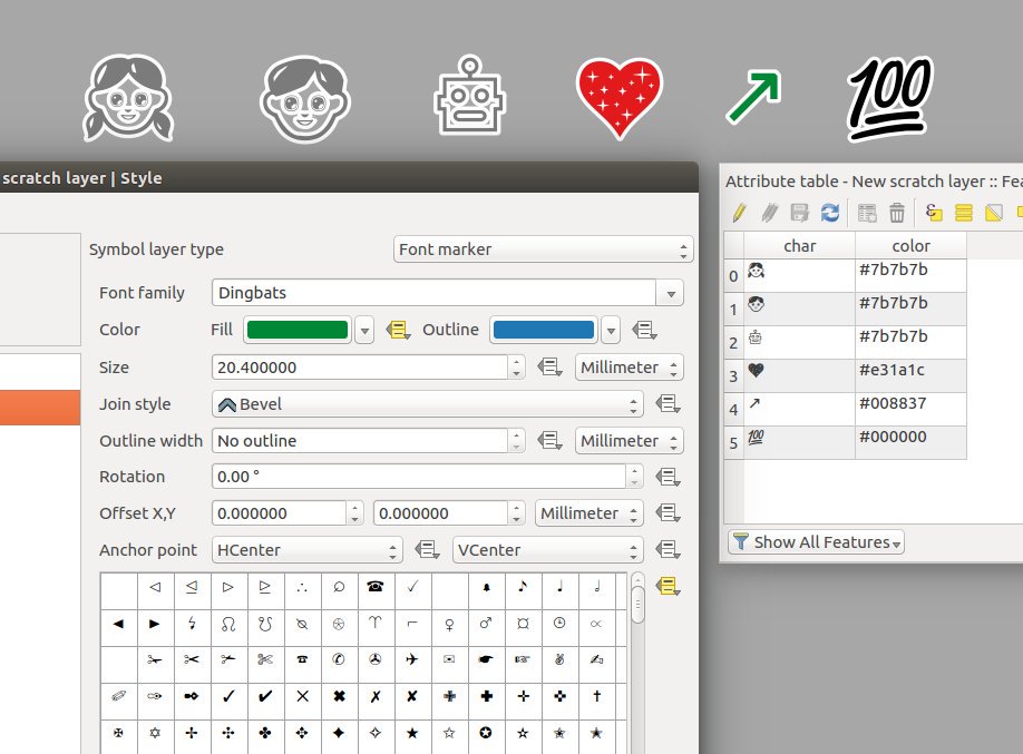
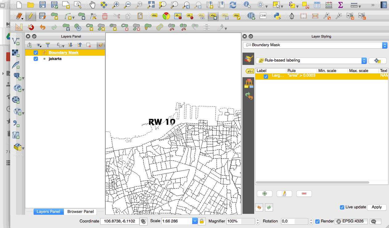
If you are upgrading from QGIS 2.14 you will find a great many new features in this release. We encourage you to peruse the changelogs for previous releases releases as this QGIS 2.16 release includes all features published in those releases too.

Whenever new features are added to software they introduce the possibility of new bugs - if you encounter any problems with this release, please file a ticket on the QGIS Bug Tracker.

Thanks

We would like to thank the developers, documenters, testers and all the many folks out there who volunteer their time and effort (or fund people to do so). From the QGIS community we hope you enjoy this release! If you wish to donate time, money or otherwise get involved in making QGIS more awesome, please wander along to qgis.org and lend a hand!

QGIS is supported by donors and sponsors. A current list of donors who have made financial contributions large and small to the project can be seen on our donors list. If you would like to become and official project sponsor, please visit our sponsorship page for details. Sponsoring QGIS helps us to fund our six monthly developer meetings, maintain project infrastructure and fund bug fixing efforts. A complete list of current sponsors is provided below - our very great thank you to all of our sponsors!

QGIS is Free software and you are under no obligation to pay anything to use it - in fact we want to encourage people far and wide to use it regardless of what your financial or social status is - we believe empowering people with spatial decision making tools will result in a better society for all of humanity. If you are able to support QGIS, you can donate here


General

Paste GeoJSON features directly into QGIS

General

Desktop MIME icons for QGIS file types

General

Store spatial bookmarks in project files

General

Support for GNSS GNRMC messages

General

Map tip improvements

General

Copying features in GeoJSON format

Documentation

Authentication system's documentation in users manual

Documentation

QGIS 2.14 Documentation

User Interface

Copy cell contents from attribute table

User Interface

Improved HiDPI support

User Interface

Improvements to map zooming

User Interface

Redesigned interactive gradient editor

User Interface

Map canvas magnifier

User Interface

Improvements to calendar popups

User Interface

Improved map select tool behaviour

User Interface

Choice of default view for the attribute dialog

User Interface

Improved color pickers

Symbology

Style Dock

Symbology

New "Filled marker" symbol layer type

Symbology

New accessibility and low vision symbols

Symbology

More control over centroid fill point rendering

Symbology

New simple marker symbols

Symbology

Outline setting for font markers symbol

Symbology

Arrow symbol layer

Symbology

New map tool for interactively setting point symbol offset

Symbology

"No symbol" renderer

Symbology

Control outline join style for simple, ellipse, and font markers

Labelling

Labeling map tools now work with rule-based labeling

Diagrams

Diagrams behave like labels and can be managed from toolbar

Diagrams

Unit selection for outline width

Diagrams

Legend entries for diagram size

Rendering

New options for on the fly simplification

Rendering

Live hillshade renderer

Rendering

Quantile based classification for raster layers

Print Layouts

Composer maps now auto-update with presets

Print Layouts

Parameterized svg support for composer svg images

Print Layouts

New tools for drawing polygons and polylines

Print Layouts

Relative links in composer labels

Print Layouts

Easier use of HTML in labels

Print Layouts

Embed atlas features into composer HTML source as GeoJSON

Print Layouts

Georeference outputs (eg PDF) from composer

Digitising

Segmentation tolerance

Digitising

"Repeating" locking mode for constraints

Digitising

Extend linestring geometries with reshape tool

Data Management

DXF export improvements

Data Management

Edit attributes of multiple features simultaneously

Data Management

Form based select and filter

Data Management

Control over attributes to export when saving a vector layer

Data Management

Multiple columns in attribute forms

Data Management

Forms view: side column now sortable

Data Management

Create GeoPackage layers

Data Management

Top level widgets in drag and drop designer

Data Management

Relation reference widget: shortcut for adding new values

Data Management

Constraints on widgets

Data Management

New configuration options for attribute table

Layer Legend

New option to zoom to a layer's visible scale range

Analysis Tools

Statistics for string and date fields

Analysis Tools

Aggregate support for expressions

Analysis Tools

Show curve point radius in info tool

Analysis Tools

fTools plugin has been replaced with Processing algorithms

Analysis Tools

Changes to expressions

Analysis Tools

More distance units

Analysis Tools

Named parameters in expressions

Processing

Support for expressions and variables

Processing

Preconfigured algorithms

Processing

Set point locations by clicking on canvas

Processing

Support for writing tables with no geometry

Processing

Create a plugin with script-based algorithms from the toolbox

Processing

Use of authentication manager in PostGIS related algorithms

Processing

Additional GRASS algorithms in processing

Data Providers

Save styles in MS SQL and Oracle databases

Data Providers

Make readOnly mode of vector layers configurable in project

Data Providers

Massive improvements to WFS Provider

Data Providers

OGR FID attribute shown

Data Providers

Refresh Postgres materialized views in db manager

Data Providers

Generation of default values on Postgres layers "just in time"

Data Providers

Basic support for Oracle Workspace Manager

Data Providers

ArcGIS Map and Feature REST services

Data Providers

Improved handling of Postgres DOMAIN type fields

Data Providers

OGR datasets are opened in read-only mode by default

Data Providers

Rename fields in layers

Data Providers

Support for DB2 databases

QGIS Server

Redlining support in GetMap and GetPrint

QGIS Server

Default datum transformation for server

Plugins

API: Add pages to vector layer properties

Plugins

Globe: Extrude objects

Plugins

Globe: Vector support

Plugins

Globe: Vertical exaggeration for DTM

Plugins

Refreshed globe plugin

Programmability

Plugins can add pages to vector layer properties

Programmability

Embedded widgets in layer tree

Programmability

New PyQGIS classes in 2.16

Notable Fixes

QGIS Paid Bugfixing Programme